The POMERIUM project aims to realize a complex monitoring system for Cultural Heritage (CH) management in order to support Managers in the daily and extraordinary activities and expert decisions. The system will be based on the added value given by the integration of different technologies: satellites, remotely piloted aerial systems (RPAS), in situ Internet of Things (IoT) monitoring, image recognition, and advanced modeling. The communication backbone within the different components will beneficiate from the 5G technology, in order to speed up data transmission and to allow traffic of big amounts of data. Geopositioning services will be ensured by Global Navigation Satellite Systems (GNSS).

-
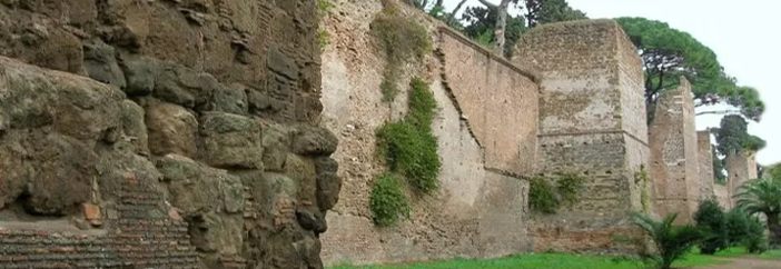
Monitoring of Soil and Buildings Stability and Deformations
-
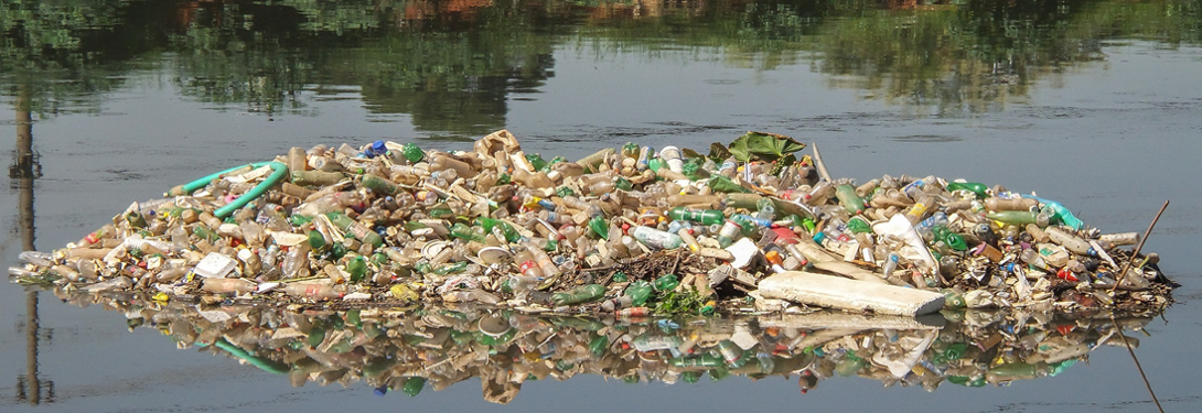
Anthropic Activities (Identification Of Waste And Debris)
-
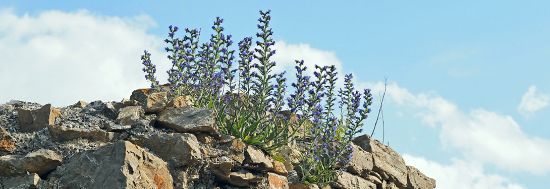
Weed Vegetation
-
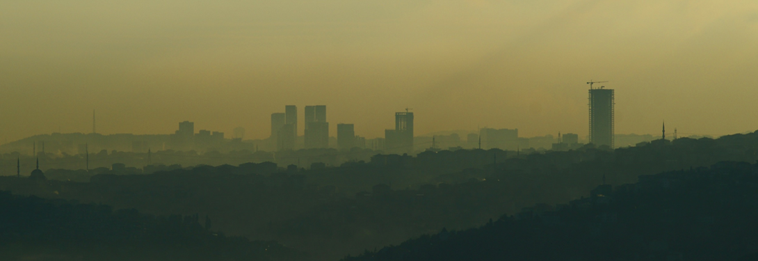
Concentration Of Pollution Sprays In The Urban Environment
-
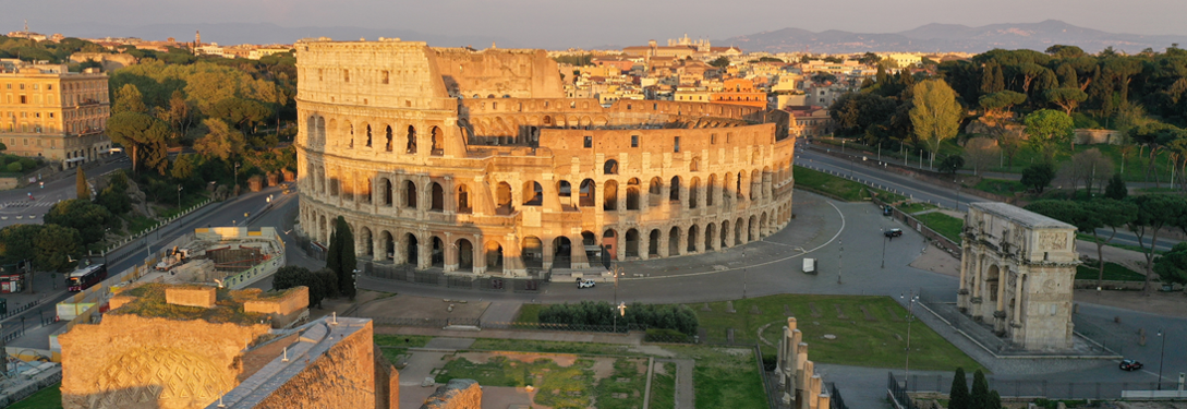
Multi-channel monitoring system for Cultural Heritage management
Copyright © 2024, Pomerium Project Website
-
Developed by Arakne S.r.l.